Free Printable North America Map (Grab for Free!)
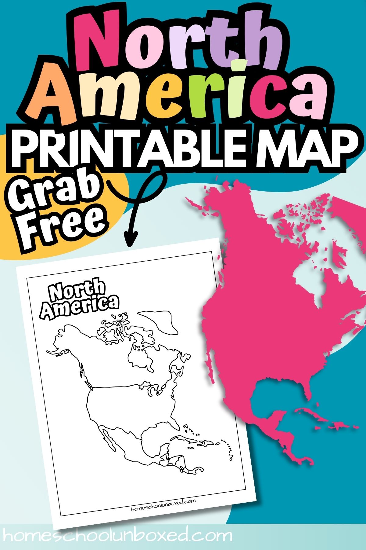
This printable North America map is a simple, blank outline perfect for homeschool geography lessons. Whether you’re labeling countries or tracing coastlines, this black-and-white PDF offers a flexible tool for students of all ages.
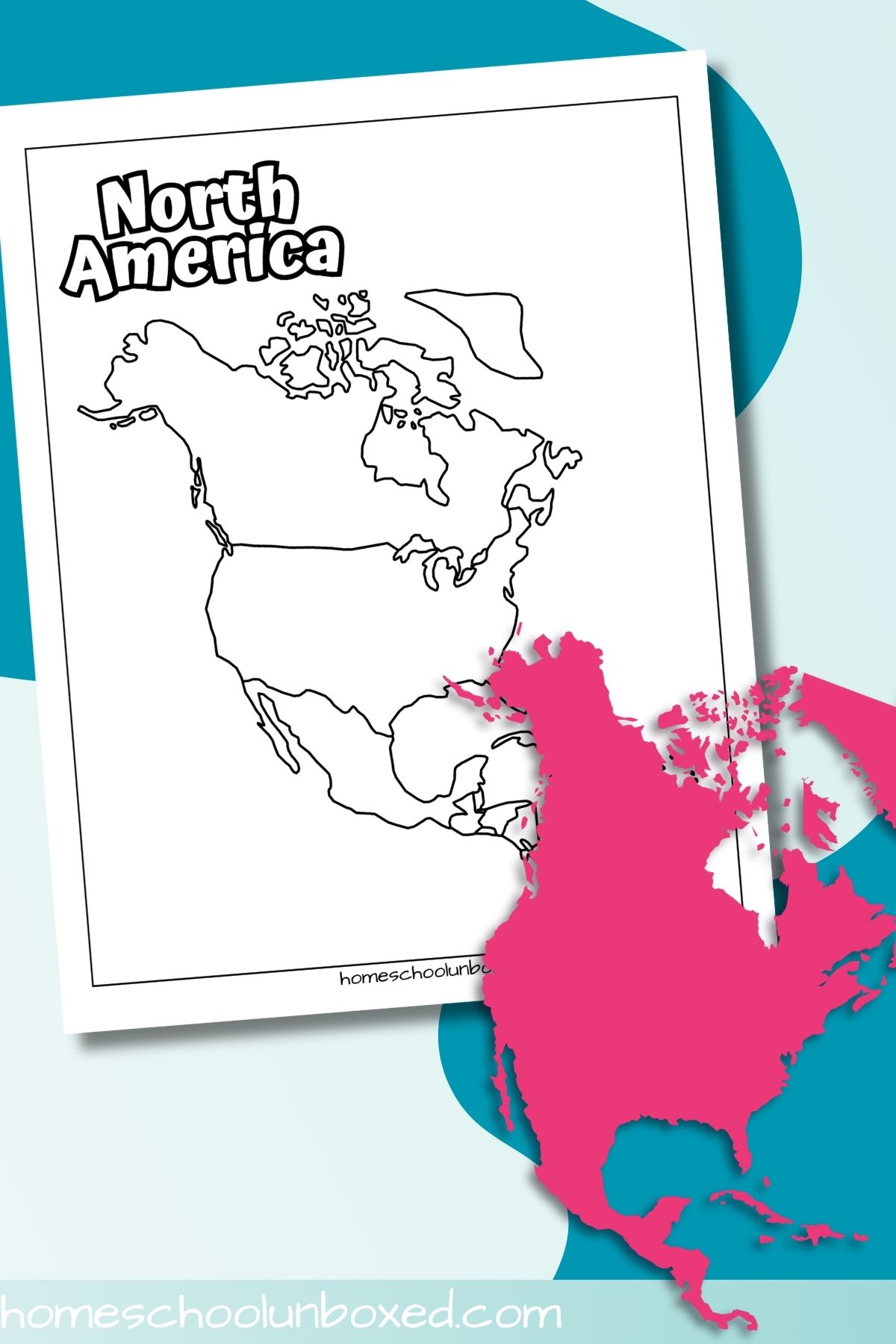
Looking for an easy way to teach North American geography without overwhelming your kids? This printable North America map is a great hands-on tool for reinforcing map skills. It’s perfect for labeling countries, identifying borders, or even coloring in regions while learning about the different parts of the continent. Bonus: it fits seamlessly into unit studies or independent practice!
📎 Materials
- Printed copy of the map worksheet
- Pencils or colored pencils
- Globe or atlas (optional)
- Clipboard or hard surface (for on-the-go learning)

🗺️ The Printable
This printable North America map includes:
- A blank, outline-style map of North America
- Country borders outlined but unlabeled (great for quizzes or labeling practice)
- No distracting colors or details—just a clean map ready for customizing
- Sized for standard 8.5″ x 11″ printer paper
🛠️ How to Use
- Print out the blank map.
- Have students label countries, capitals, or major landforms.
- Use colored pencils to shade in specific regions, climate zones, or political borders.
- Quiz students by having them fill in the map from memory.
- Add it to a geography notebook or lapbook!
💡 Educational Uses/Tips
- 🧠 Memory Booster: Use it for map quizzes after reading a lesson on North America.
- 🎨 Creative Extension: Have students design a travel brochure based on the countries they label.
- 🌍 Compare & Contrast: Print out a South America map or Asia printable map and discuss geographical differences.
- 📌 Unit Study Integration: Combine with cultural studies, flags of the continent, or animal habitats native to each country.
- 🧭 Research Project Launch Pad: Assign each student a country to research after labeling it on the map—then present fun facts or history.
- ✏️ Cross-Curricular Ideas: Integrate writing by having students write a journal entry as if they were exploring one of the countries on the map.
Pro Tip: Laminate the map for reuse! Just use dry erase markers to write and wipe country names or capitals.
🖨️ Printing Tips
Color Printing: This map is ink-friendly and entirely black and white—perfect for saving ink.
Paper Type: Use regular printer paper for everyday worksheets. For repeated use or display, opt for heavier-weight paper or laminating.
Printer Settings:
- Open the PDF file on the computer.
- Note the page numbers of the worksheets to print.
- Open the print dialog box.
- Enter the page numbers in the ‘Pages’ section.
- Set the printer to high-quality or best print mode.
- Click ‘Print’ to print only the selected pages.
📥 Grab the Printable
To download your free printable North America map, simply enter your name and email in the blue box below. The file will Printable North America Map be sent straight to your inbox! This printable is for personal or classroom use only—please no commercial use.
You don’t need a complicated curriculum or a wall-sized atlas to make geography engaging—just a simple printable map and a few creative ideas. Whether you’re labeling countries, comparing continents, or kicking off a research project, this North America map gives you a flexible tool you can return to again and again.
Small resources like this can spark big learning adventures—so keep it fun, make it hands-on, and trust that you’re doing a great job homeschooling.